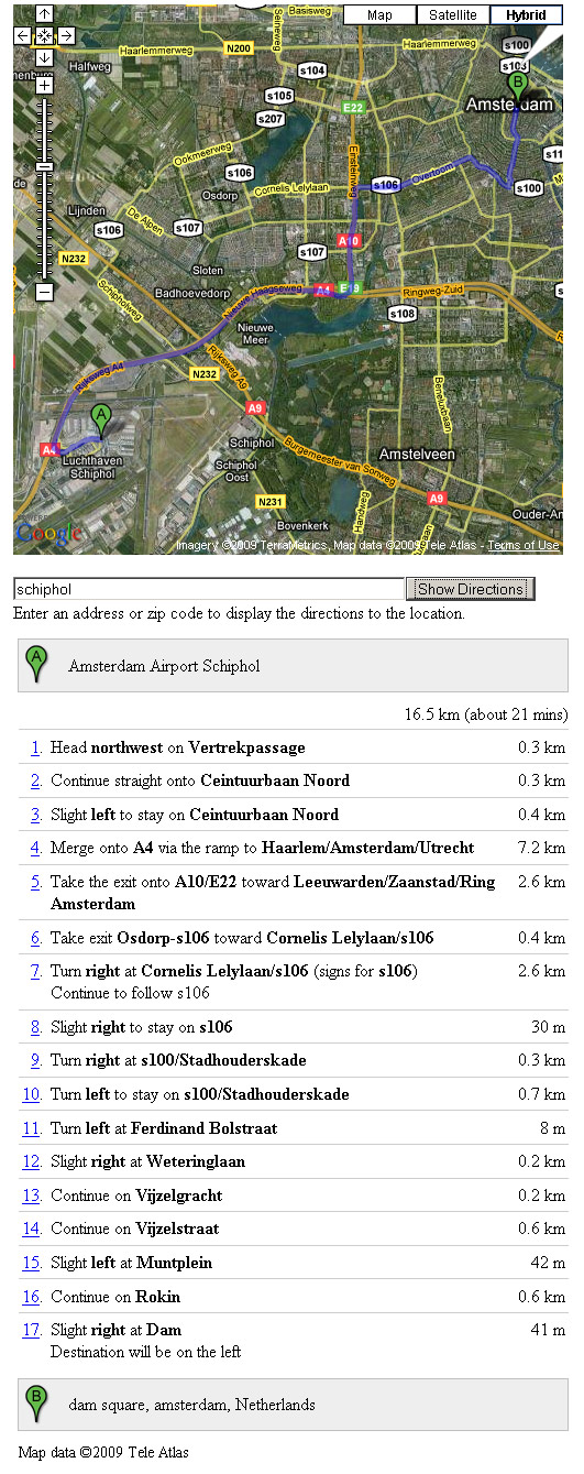
If "schiphol" is entered in the textbox and "Show Directions" button is pressed, driving directions and instructions are displayed how to get from point A "Amsterdam Airport Schiphol" to point B (Dam square, Amsterdam, Netherlands).
To show directions on a map the following steps should be taken:
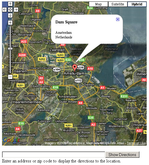
- First "Create a default map" by selection option C where you enter a street, zip code, city and/or state followed by the country.
The location entered here will be point B (the To address, or end destination). - Enable checkbox "Show directions".
- Select a travel mode: Driving or Walking.
If you select "Walking", walking instructions are given from point A to point B.
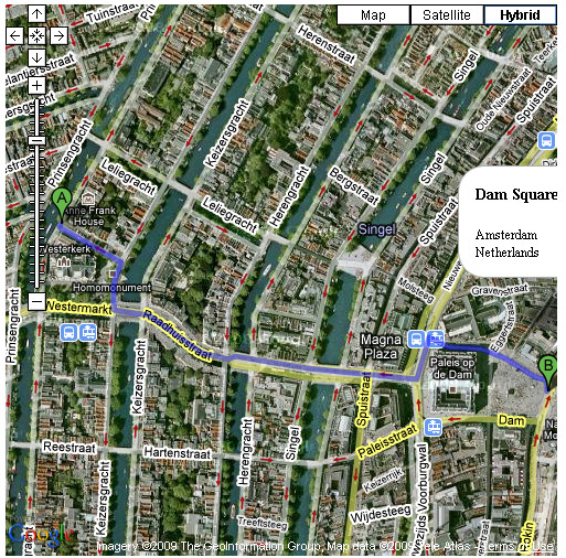
The image below shows walking directions from "Anne Frank House" to "Dam Square".
If the walking travel mode is selected a message will be displayed:
Walking directions are in beta.
Use caution - This route may be missing sidewalks or pedestrian paths.
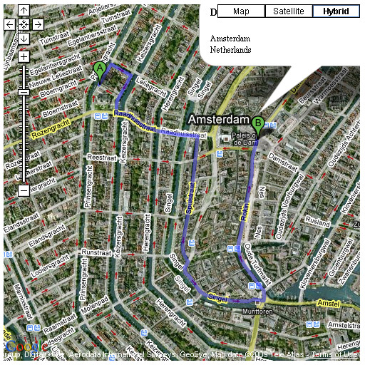
The image below shows driving directions from "Anne Frank House" to "Dam Square".
If the driving travel mode is selected, you may also choose to "avoid highways".
If "avoid highways" is selected, highways will be excluded when computing directions.
Note that directions may still include highways if there are no viable alternatives.